Mapping and Conservation Inventory on Irrigated Acres
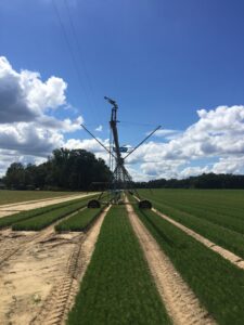
The Center conducts on-farm visits to map irrigated acres and inventory the use of irrigation conservation technology. Mapping and inventory activities began in the Lower Flint River Basin in 2012. A substantial portion of the Flint River Basin has been surveyed, as well as thousands of irrigated acres in other Coastal Plain watersheds. The Center has supplemented the on-farm mapping with analysis of remote sensing images for areas where on-farm mapping has not been completed. This project has received funding from the Georgia Environmental Protection Division, U.S. Fish and Wildlife Service, and Georgia Soil and Water Conservation Commission.

